Recreation

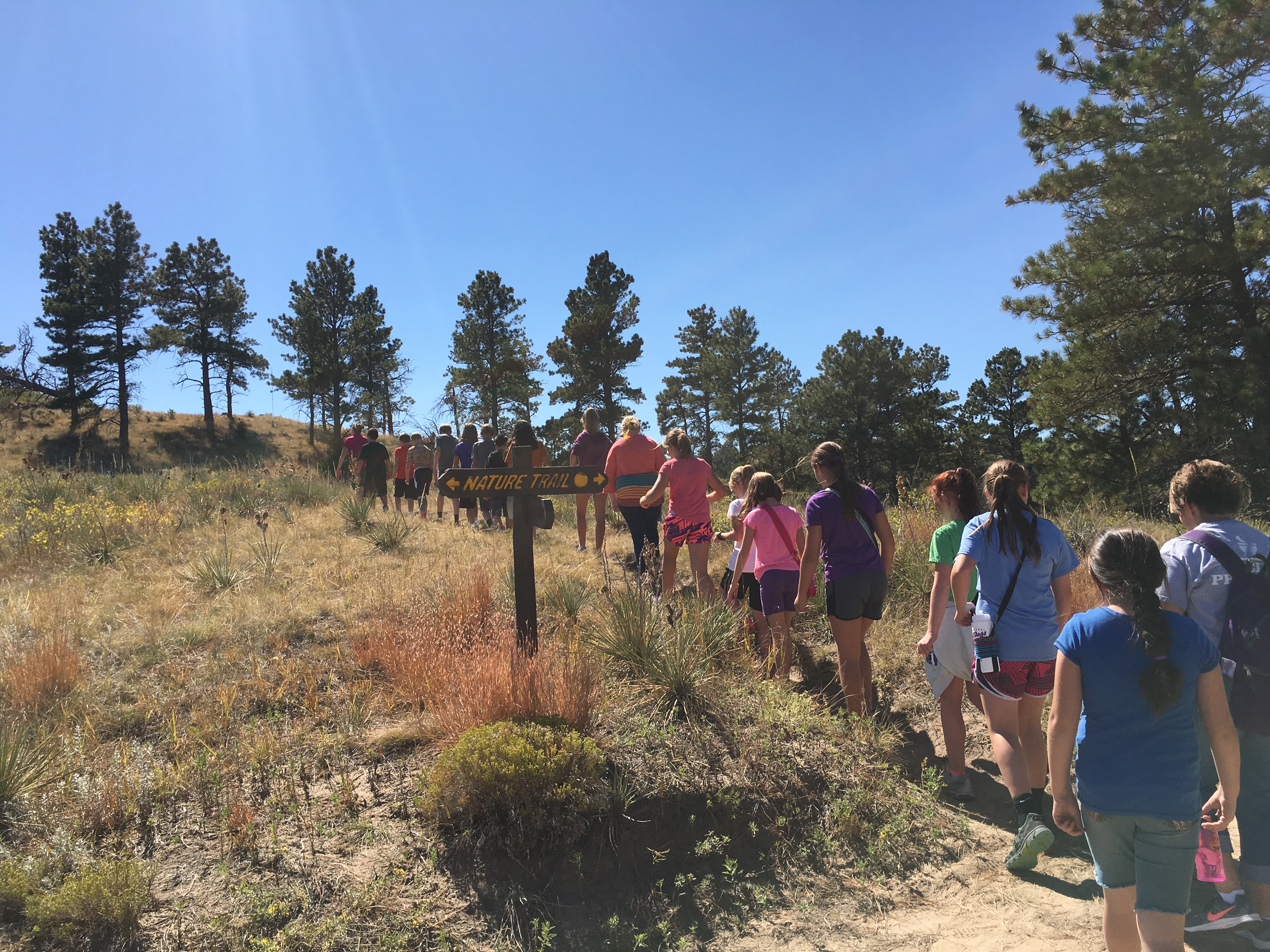
Rolling hills, majestic bluffs, meandering streams, abundant wildlife, and wide-open spaces dot our landscape here in western Nebraska. These spaces provide the public with an excellent opportunity to hike, hunt, fish, camp, swim, explore, and just relax.
Check Out Our Interactive Recreation Map Recreation Maps Video Tutorial
Interactive Recreation Map
The North Platte Natural Resources District (NPNRD) has partnered with conservation partners in our District to provide the public with an interactive map to many of the recreation areas in our district. We take protecting our natural resources very seriously, and we believe that one of the best ways to educate is for the public to experience all the great things nature has to offer. Our recreation maps provide many different options for the first time hiker to the avid outdoorsman.
The map will identify wildlife, plants, habitat areas, parking spaces, hunting opportunities, water tanks, vistas for pictures, and much more. The maps will also show elevation, so users will be able to see how difficult the terrain will be and plan accordingly.
Disclaimer: This coverage is not intended to precisely define each trail location, park boundary, parking area, or other features, or to identify any potential hazards which may exist in these areas. It is only intended to provide the general location and shape of featured areas.
NPNRD Generated Recreational Area GIS Layers
Platte River Basin Environments (Visit Website)
- All PRBE Areas
- Montz Ranch Map
- Carter Canyon Map
- Bead Mountain Ranch Map
- Spotted Tail Map
- Diamond Bit Map
- Mitchell Valley WMA Map
The Nature Conservancy (Visit Website)
Scotts Bluff National Monument (Visit Website)
Nebraska Game and Parks
- Arnold Trupp
- Bridgeport SRA
- Buffalo Creek
- Cedar Canyon
- Clear Creek WMA
- Kiowa WMA
- Minatare SRA
- Montz WMA
- Nine Mile Creek
- Ash Hollow
- Focus Springs