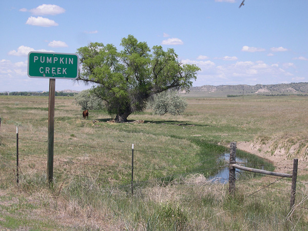
Pumpkin Creek Basin
The Pumpkin Creek Basin Groundwater Management Sub-Area, established February 15th, 2001, includes parts of Banner, southwestern Scotts Bluff, and southwestern Morrill counties. The sub-area has three purposes: to protect groundwater quality, protect groundwater quantity, and provide for the integrated management of hydrologically connected groundwater and surface water.
The PCB sub-area was established in response to declines in groundwater levels and stream flows within Pumpkin Creek. Water level declines coincided with a significant increase in the number of irrigation wells in Pumpkin Creek Basin. The number of registered irrigation wells doubled between 1975 and 2000, increasing from 250 wells to about 500.
Download PCB Rules & Regulations
Regulatory Controls
Moratorium on Permits for New Wells
All lands within the Sub-Area are closed to the issuance of any additional permits to drill water wells. The moratorium does not apply to replacement wells. The moratorium does not affect other wells because they do not require permits to drill, including wells for human needs and range livestock.
Flow Meters
Well, owners must install flow meters approved by the NPNRD, except on wells used for domestic or household purposes and range livestock.
Allocation
Groundwater will be allocated among all users, except range livestock and households. In November 2014, the North Platte NRD Board of Directors unanimously voted to change the allocation for the Pumpkin Creek Sub-area to 60 acre-inches per acre over a five-year allocation period. Irrigators may manage the allocation to fit their program within the five-year period. Certified livestock operations are allocated an annual amount equal to 20 gallons per day per animal unit of capacity as certified by the NRD. Certified groundwater users other than irrigators and livestock producers must apply to the NRD and receive an allocation based on historical use and additional relevant information.
Certified Irrigated Tracts (Individual Fields)
under revised allocation rules, irrigators will be able to use 60 acre-inches per acre over a five-year allocation period. The change in allocation will allow greater flexibility for producers. Producers will be able to better manage crop rotations by knowing exactly how much water they will have for five years. Producers could take advantage of high prices for more water-intensive crops once a year and then plant less water-intensive in another.
Allocation Units
An allocation unit consists of all the certified irrigated tracts and water wells designated by the District as described by the landowner so that the allocations of more than one certified irrigated tract may be combined. The total allocation can then be applied anywhere on the acres within the unit, subject to some limits.
A designated allocation unit consists of two or more certified irrigated tracts that meet the following criteria:
- The same person owns them;
- They are irrigated by wells that are not interconnected with any wells that supply any other certified irrigated tracts;
- They are irrigated by wells located within a 3-mile by 3-mile square;
- If any of the certified irrigated tracts are supplied by two or more wells, at least one of the wells must be within the 3-mile-by-3-mile square.
A pre-existing (grandfathered) allocation unit consists of two or more certified irrigated tracts that meet the following criteria: 1) Two or more interconnected wells irrigate them; 2) The same person owns them; and 3) The wells were interconnected as of December 19th, 2002.
Rules for Allocation Units
Limited unused water may be carried over from one allocation period to the next, up to half the prior year’s allocation.
Click here to see a map of the Pumpkin Creek Basin Groundwater Management Sub-Area.
Gallery
Click image to view larger.
